High-altitude deserts, ancient monasteries and some of India's most dramatic roads. A first-timer's guide to surviving and loving the Spiti Valley circuit.
The Spiti Valley — a cold desert mountain valley high in the Himalayas — is a bucket-list road trip for a reason: barren moonscapes, thousand-year-old monasteries, and villages that sit among the highest inhabited places on earth.
Spiti is not a comfortable trip. It's a great one. Go with a planned convoy, oxygen support and drivers who know these roads.
What is this experience?
This is a supported road expedition through the Spiti Valley — a cold desert that sits between 3,000 and 4,500 metres in the Himalayas. Groups travel in a convoy of vehicles from Shimla, gain altitude slowly through Kinnaur, spend several days around Kaza visiting monasteries and high villages, and exit over Kunzum Pass to Manali. It is not a trek: most of the distance is covered by road, with short walks, monastery climbs and an optional overnight at Chandratal.
Why try it?
- One of the few Himalayan circuits where you sleep in villages above 4,000 m
- Thousand-year-old monasteries — Key, Dhankar, Tabo — still in daily use
- Dramatic road engineering: gorges, water crossings and Kunzum Pass
- Genuinely dark night skies for astrophotography
- Beginner-friendly exposure to high altitude with a support vehicle behind you
Location and terrain
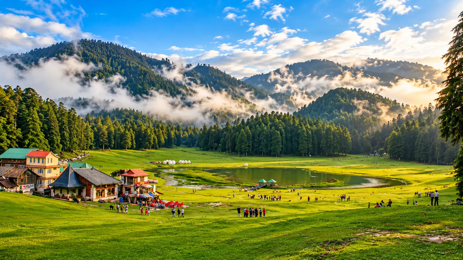
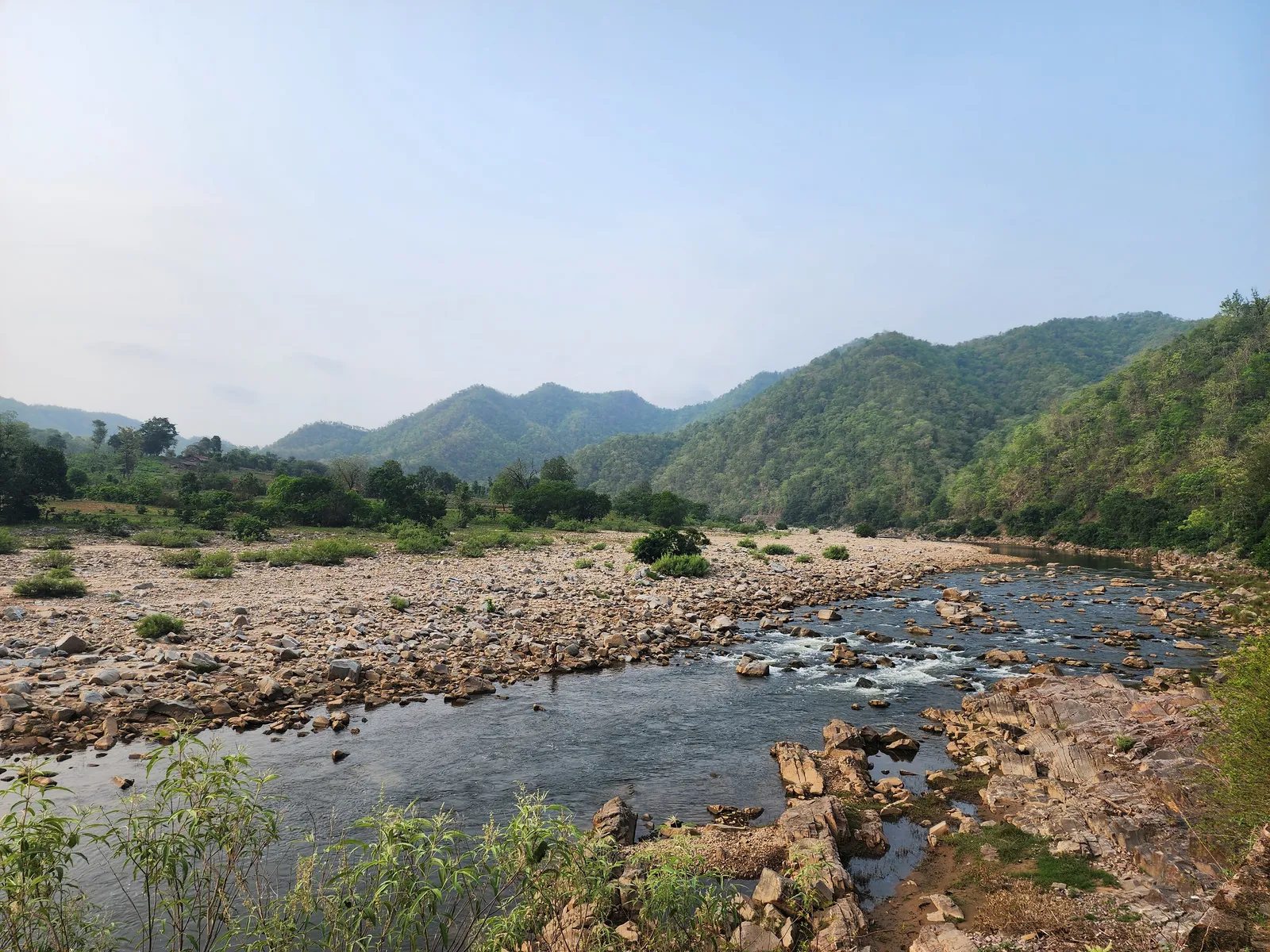
Spiti is a rain-shadow cold desert. The route runs along the Sutlej and Spiti rivers through loose-rock gorges, then opens into a wide, barren valley of scree slopes and glacial streams. Roads are a mix of tarmac and unpaved sections, with unbridged water crossings that grow through the afternoon as glaciers melt. There is no tree cover, minimal mobile network beyond Kaza, and temperatures swing sharply between sun and shade.
- Cold desert, river gorges and high mountain passes
- 2,200 m → 4,551 m (Kunzum Pass)
- ≈1,100 km circuit (Shimla → Spiti → Manali)
Difficulty explained
Rated Moderate because of altitude and long road days — not because of physical exertion. The hardest part is the body's adjustment above 4,000 m, plus 6–9 hours a day on rough roads. Anyone who can walk 2–3 km comfortably and has no heart or lung condition can do this trip with a proper acclimatisation schedule.
Fitness requirement
- Able to walk 2–3 km on uneven ground without breathlessness
- Comfortable with 6–9 hour road days on unpaved sections
- Start light cardio — 20–30 minutes of brisk walking, 3 weeks before departure
- No formal training or gym programme required
Age and eligibility
- Minimum age 12 years; under-18 travellers must be with a parent or guardian
- Upper age 58 years — above 55, a doctor's fitness certificate is required
- Not suitable during pregnancy
- Not suitable for travellers with heart disease, uncontrolled BP, severe asthma or sickle-cell disease
- Solo travellers welcome — shared accommodation is arranged by gender
Best season
The full circuit is only possible when both the Shimla and Manali approaches are open, roughly mid-June to early October. Outside this window Spiti is reachable only via Kinnaur, in deep snow, and is treated as a separate winter expedition.
| Months | What to expect |
|---|---|
| Mid-June – July | Both Shimla and Manali roads open; best for the full circuit |
| August | Runs, but landslide and water-crossing risk is highest |
| September | Clearest skies, coldest nights — the photographer's month |
| October – May | Kunzum Pass closed; only the winter Shimla route, expedition-grade |
Adventure duration
Plan 9–12 days door to door from Ahmedabad. A shorter 7-day version exists but forces a fast altitude gain, which we do not run. The itinerary keeps two acclimatisation nights below 3,300 m before any night above 4,000 m.
Required skills
- No technical or mountaineering skill needed
- Basic self-care at altitude: hydration, pacing, recognising your own symptoms
- Willingness to follow the trip lead's call on schedule and route changes
- For self-ride riders: prior experience on unpaved roads and water crossings
Equipment and gear
Insulated jacket
Nights drop near freezing even in July. A down or heavy fleece layer is non-negotiable.
Layered clothing
Thermals, fleece and a windproof shell — you will use all three in one day.
Trekking shoes
Closed, grippy shoes for scree, monastery steps and stream crossings.
UV sunglasses + sunscreen
Thin air and reflected glare burn fast. SPF 50 and category-3 lenses.
Portable oxygenProvided by GAC
Carried in every vehicle by the team, along with a pulse oximeter.
First-aid & medical kitProvided by GAC
Group kit with altitude medication, carried by the trip lead.
Sleeping bagProvided by GAC
Provided for the Chandratal camp night; homestays supply heavy quilts.
Power bank & torch
Village power is intermittent and generator-run. Carry two power banks.
Training and preparation
- 3 weeks out: 20–30 minutes of brisk walking or cycling, 4 days a week
- 2 weeks out: add stair climbing to build lung capacity
- Practise deep breathing exercises daily — it genuinely helps at altitude
- Stop alcohol and reduce smoking a week before departure
- Get a basic health check-up if you are above 50 or have any chronic condition
Safety standards
- Gradual acclimatisation route — no night above 4,000 m in the first four days
- Portable oxygen and a pulse oximeter in every vehicle
- Daily oxygen-saturation check for every traveller around Kaza
- Backup vehicle in convoy; no vehicle travels alone
- Driving stops at sunset — no night driving on mountain sections
- Water crossings attempted only in the morning, before glacial melt peaks
- Evacuation plan mapped to Kaza and Reckong Peo hospitals with a 24×7 coordinator
Guide and support team
Certified in wilderness first aid, runs the daily health check and takes all route calls.
Himachal drivers who run these roads every season and know each water crossing by name.
Carries spare fuel, tools, oxygen reserve and the group's medical kit.
Reachable by phone and satellite relay for family updates and emergencies.
Weather risks
- Afternoon rain in Kinnaur can trigger landslides and multi-hour road blocks
- Snow can close Kunzum Pass at short notice, even in September
- Water crossings deepen through the day as glaciers melt
- Sharp day–night temperature swing: 22 °C sun to −2 °C after dark
- Schedules may be reversed or shortened on the trip team's safety assessment
Medical considerations
- Acute Mountain Sickness is the main risk — headache, nausea, poor sleep are early signs
- Report symptoms to the trip lead immediately; never sleep off a worsening headache
- Carry personal prescription medicines for the full duration, plus two spare days
- Consult your doctor about Diamox before travelling — do not self-prescribe
- Declare asthma, diabetes, BP or heart conditions at booking so the team can plan
- Travel insurance covering high-altitude evacuation is strongly recommended
What is included?
- Travel from Ahmedabad and the full road circuit in a convoy
- Stays in hotels, homestays and one camp night
- Daily breakfast and dinner
- Trip lead, local drivers and permits for Inner Line areas
- Oxygen support, group medical kit and backup vehicle
What travellers must carry
- Original photo ID (mandatory for Inner Line permits) plus two photocopies
- Insulated jacket, thermals, fleece and a windproof outer layer
- Trekking shoes, woollen cap, gloves and warm socks
- SPF 50 sunscreen, lip balm, UV sunglasses and moisturiser
- Personal medicines, ORS sachets and a reusable water bottle
- Two power banks, torch and enough cash — ATMs beyond Kaza are unreliable
Typical experience timeline
- Day 1–2Ahmedabad → ShimlaRoad and rail transit; overnight at 2,200 m to begin acclimatising.
- Day 3Shimla → Sangla / ChitkulEnter Kinnaur along the Sutlej. First night near 2,600 m.
- Day 4Chitkul → NakoInner Line permits at Reckong Peo. Gorge roads, night at 3,600 m.
- Day 5Nako → Tabo → KazaTabo and Dhankar monasteries; settle into Kaza (3,800 m).
- Day 6Kaza acclimatisation dayKey Monastery, Hikkim post office, Langza and Komic. Short walks only.
- Day 7Kaza → ChandratalKunzum Pass at 4,551 m, camp night by the moon lake (weather permitting).
- Day 8Chandratal → ManaliBatal, Gramphu and the descent to green Himachal.
- Day 9–10Manali → AhmedabadReturn transit with a buffer day held for weather delays.
Adventure Packages You Can Join
 Weekend Camp
Saputara Trekking Camp
✦ 3 Days / 2 Nights Saputara Trekking Camp
 Trek
TrekChopta Tungnath Chandrashila Trek
 Weekend Camp
Phulwari Ki Naal Weekend Camp
✦ 2 Days and 1 Night weekend nature camp
Available adventure packages
First-hand field notes
On our June 2026 convoy, the Kunzum crossing was moved a day earlier after the driving team read the weather — the original day was snowed in. Trust the schedule changes.
Every traveller who drank 4+ litres a day reported milder headaches at Kaza than those who did not. It is the single cheapest altitude precaution.
Mobile network dies past Kaza. Tell your family in advance that a two-day silence is normal, not an emergency.
The Chandratal camp night is the coldest of the trip by a wide margin. The insulated jacket that felt excessive in Ahmedabad will feel thin at 2 AM.